
Vision Quest Reshaped for 2025
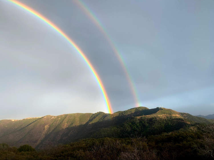
This past year's fire season has not been kind to Southern California. We have had devastating fires in nearly all the major Southern California ranges. And the most recent, the Palisades Fire, was the most destructive, destroying our understanding of the notion of a fire season. Closest to home, we had the Airport Fire on September 9 in Trabuco Canyon, in the heart of our Santa Ana Mountains. This fire, as many of you know, burned through nearly half of the range and took out practically all of our beloved Cleveland National Forest trails we have worked so hard to maintain. In fact, in August alone, myself and a small group of dedicated others put in over 200 man hours working on Joplin, Buckthorn, San Juan Trail and other trails in the fire zone which are all now gone. The one major forest trail that was spared, Motorway, is closed.

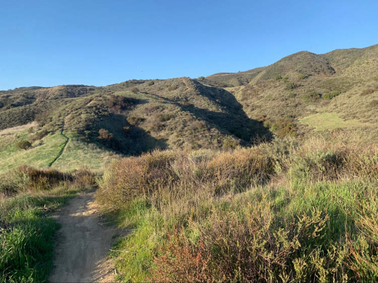
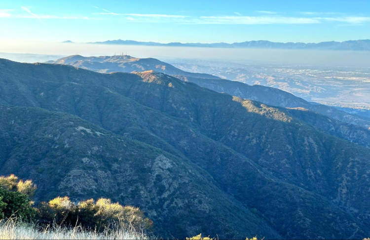
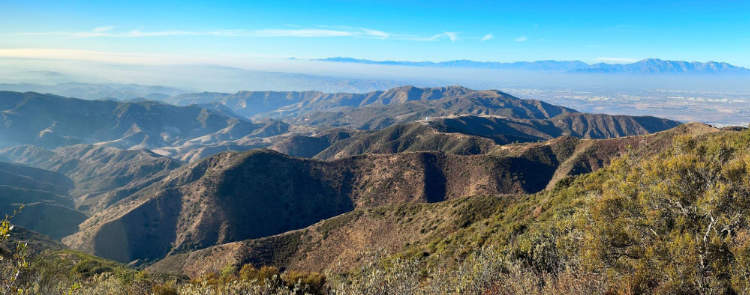
While the Airport Fire has taken away so much of the terrain we've loved and labored for, not all is lost. We still have the northern half of the range: from Coal Canyon in the north to Eagle Road in the south is open. While we may not be able to stand on the summits of the tallest mountains in the range, we may on Sierra, Hagador and rugged Pleasant's Peaks.
The Vision Quest and Counting Coup rides this year have been reshaped to facilitate the constraints imposed by the Airport Fire. We will play in this northern zone and offer 2025 participants a new route, a new challenge.
This year's Vision Quest and Counting Coup rides, like years past, will ride from Blackstar Canyon Trailhead, but new this year we’ll be using Beek’s place as a base camp in the range. It will be where we check-in at the start, where we get water and our supplies during the ride, and where we celebrate at the end. Both rides incorporate grueling physical hike-a-bikes like the rides of the Warrior's early days and the VQ and CC have been further differentiated to be for advanced and intermediate riders, respectively. The Vision Quest ride this year has over 2500 feet of steep and technical singletrack descent that demands of riders not just all-day endurance but masterful descending skills.
Route Description and Directions
Both rides share the same first 25 miles. From Blackstar Canyon Falls Trailhead, you climb Blackstar Canyon Road as per years' past. Things diverge from prior years, as you leave the road at Paul Valdez’s cross (about 6.8 miles in) to continue up the singletrack of Boobytrap. To go up this sandy intermediate level descent will require some pushing, foreshadowing the challenge yet to come. Counting Coup riders take note, as you will descend this trail on your return in the afternoon before looping back to Beek’s for the end celebration.
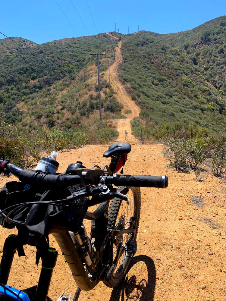
After climbing Boobytrap, you continue on Blackstar Canyon Road to Main Divide. You must first check-in at Beek's Place to obtain your wristband before continuing on the traverse across North to Sierra Peak. Once at Sierra Peak (12 miles in), you then enjoy a 2500 foot descent off the mountain down Coal Canyon Road, which starts rough and improves as you descend. What goes down must come up and you're going up the hard way! You return to Sierra via Pipeline Trail and Telephone Trail, which are really just steep poor condition fire roads (think bike-swallowing ruts). The average grade for the 2500 foot climb back up Sierra is 10.3% and peaks at 28%. In other words, prepare to suffer!
After summiting Sierra Peak a second time, you continue on Main Divide back to the base camp at Beek's Place (25 miles from when you started your day), where you can refill water and access your drop bags. You continue on up past the Doppler and one switch back past the Two Monkeys singletrack to arrive at the entry for Tombstone. Volunteers will await you at this checkpoint, ensuring Counting Coup riders turn around and Vision Quest riders descend. If you are a CC rider, you will turn around and ride past Beek’s Place to descend the singletrack you climbed up in the morning, Boobytrap. You will then double back to Beek’s Place for one final 800’ vertical climb to end your Counting Coup ride at Beek’s where food and celebration await. Congratulations: you rode 30.5 miles and nearly 7k (8 miles will return you back to Blackstar Canyon Falls Trailhead where you started)!
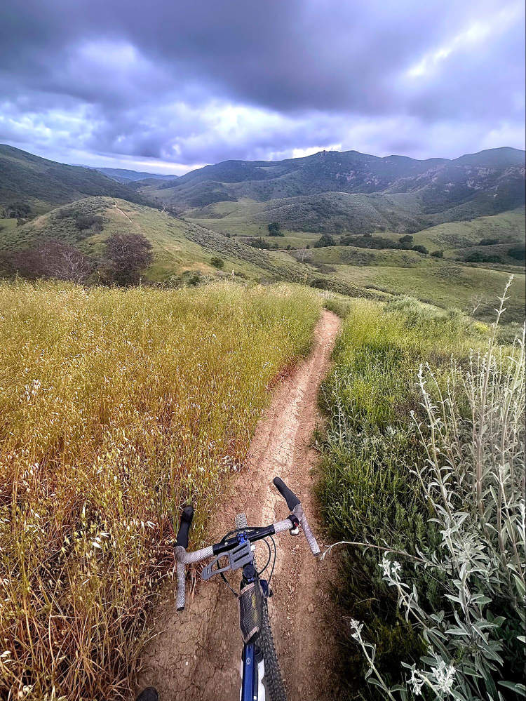
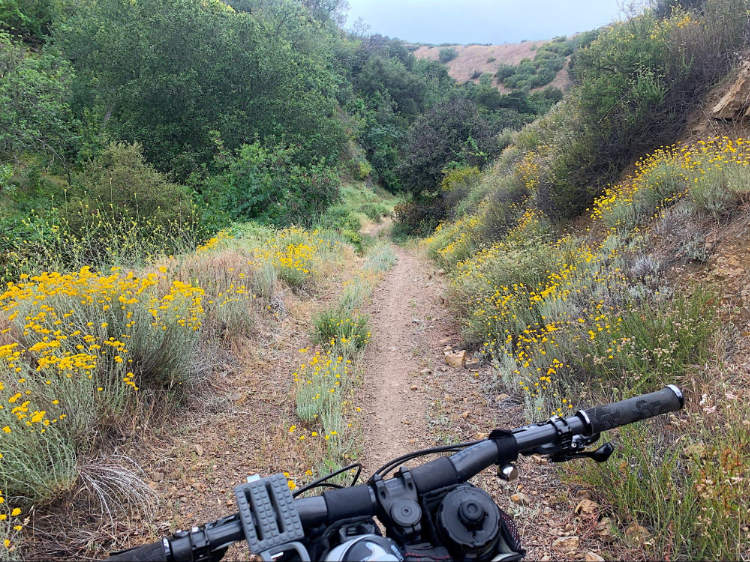
If you are a Vision Quest rider, you’re only about halfway done and the technical challenges begin now. You will descend the steep singletrack ridgeline trail, Tombstone, east into Hagador Canyon. Immediately the terrain demands your attention as right off the bat you must balance carefully through humps lest you be bucked off into the holes. You'll cowboy the whole wild way down, descending 1500 vertical feet in one mile. Don't let your guard down until you make it to water, as the swooshing switchbacks at the very end come quick. Yee haw!
At the bottom, follow Hagador Creek out the Canyon, crossing the creek several times and walking your bike as needed to the trailhead at Skyline Drive.
There will be volunteers stationed at the Skyline Drive trailhead (mile 28.7) providing water and support. This is the last opportunity for water until you return to the Tombstone checkpoint from which you just descended, approximately 12 miles / 3400’ away, so be sure to fill up. You take 3.5 miles of city roads and one brief hike-a-bike section to approach the climb back up into the Santa Anas at Eagle Road. (Consult route map for detailed directions.) Go up Eagle Road. Unlike the busy trailheads of Blackstar and Skyline Drive, the 2000' climb back up to Main Divide will feel rugged and remote.
From the intersection of Eagle and Main Divide (at mile 36), go right (North) to return via steep up-and-down terrain on Main Divide, passing the twin peaks of Pleasants and Hagador. After passing Hagador you will arrive back at the Tombstone Checkpoint where you will likely want to fill up water again (at mile 41). Right after this checkpoint, you will arrive at the second technical singletrack descent of the Vision Quest: a ridge high above the doppler dropping 1000 vertical feet into the valley below. This is Two Monkeys. After Tombstone, Two Monkeys will feel like a flow trail, albeit a bushy blue collar burly beast of a flow trail.
After descending Two Monkeys, you will then double back to Beek’s Place for one final 800’ vertical climb to end your Vision Quest ride at Beek’s where food and celebration await.
At the end of the day, after celebrating at Beek’s, your choice of singletracks or Blackstar Canyon road will return you to the starting trailhead (approximately 8 miles).
Total elevation and distances for the rides including doubling back to Beek’s Place for the end celebration and returning to the Blackstar Canyon Trailhead post-celebration is:
VisionQuest:
~53 miles
~11k elevation gain
3.5mi pavement
2500' expert singletrack descent
CountingCoup:
~38 miles
~7k elevation gain
500' intermediate level singletrack descent